“Back and forth, together and apart, they walked and walked. Gida and Lutea, back and forth, by moon lochs and sphagnum constellations, winding binding the mountains and the forests. Back and forth, back and forth, they walked their own meanings into or along the verges of the A832. Outwards in discovery, anticipation, with purpose or trepidation. Now slowing each footstep to draw out time. Returning, exhausted, bereft, carrying the fallen in their arms in silence.”
‘To an island in a loch on an island in a loch’ is a collaborative artist book by Kirsty Badenoch and Tom Jeffreys. It is designed as a kind of landscape, exploring interplays between drawing and writing, and unfolding overlaps between the multispecies voices of the forest. Borrowing its form from the dimensions of an OS map, a mythological tale leads through ancient undergrowth, and strange drawings emerge from the understorey.
The book leads through a few scattered relics of the boreal forest, multispecies voices, walking, growth, walking, decay, and the shadowy grey-green bits where writing becomes drawing, or vice-versa. It forms part of a wider project developing out of a temporary forest studio set up in a private forestry plantation in north-west Scotland. This ongoing project addresses the ecological and political significance of ancient woodlands as sites of entanglement between multiple human and nonhuman bodies and voices.
Published by Mouldy Books. Limited first edition run of 150. Hand-stitched in London.
The book launch will be at Staffordshire St Gallery, Peckham on 9th November 2023, as part of the exhibition ‘falling / fallen / felled’. PRE-ORDER HERE
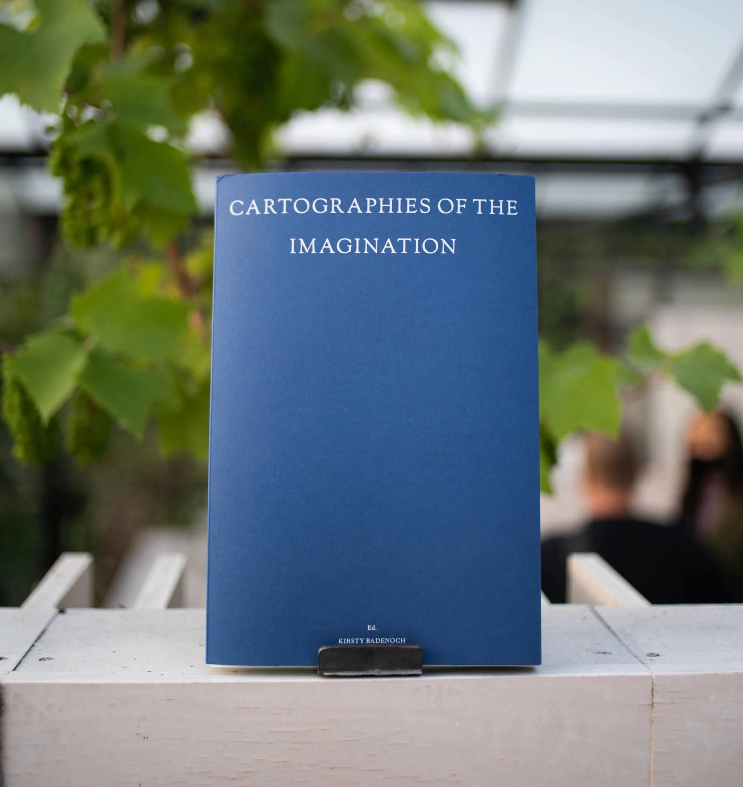
‘Cartographies of the Imagination is a wondrous collection of introductions to potential architectural novels. Written and crafted in drawings, models, installations, 3D scans and collages, this atlas of 33 mapping projects tells tales of fact and fiction. Gardens, the Silk road, Europe, Asia, a cottage, New York, debris, atmospheric curiosities, archaeology, volcanic islands, female cities, ghost cars, cosmic maps, the unconscious, golden clouds, lakes, geological monuments and the moon, are amongst some of the characters these projects narrate with. The settings are real and imagined, poetic and critical. Lost lands and the importance of going nowhere. Reconstructed spaces by acute observation and the dissection of shadows and their shadows. Improbable maps that act as rehearsals for the creation of places. Re-remembered bodies; versatile vessels that bring together improbable routes for future explorers. And sometimes, the most mysterious thing about a half-place, the place that exists between the real and the imagined, the fact that it’s not mysterious at all. The direction these mapping projects take suggests a measure of the world which is not settled. Where symbols shift, data is poetically gleaned and softness prevails.’
The Cartographies of the Imagination book presents an atlas of alternative maps, gathering over thirty works from the worlds of architecture, landscape, painting, sound, technology and film. Navigating across scales, times, realities and the imagination, this book charts practices and processes of cartography, challenging the outer reaches of human exploration and the definition of a map. The book accompanies and inspires the festival conversations.
The Cartographies of the Imagination book has a limited availability, if you are interested in purchasing a copy please email cartographiesoftheimagination@gmail.com.
Foreward: Ifigeneia Liangi
Introduction: Kirsty Badenoch and Sayan Skandarajah
Lines that lead / Footsteps that follow: Alberto Ponis / Kirsty Badenoch / Dr Jonathan Prior / David Heymann / Sam Coulton / Paul Kolling / 3RW Arkitekter / Richard John Seymour
Forensic reconstructions: Peter Wilson / Aisling O’Carroll / Dr Izabela Wieczorek/ Francesca Benedetto / Mallory Burrell / Pui Quan Choi
Worlds that whisper / Lands that lie: Madelon Vriesendorp / Saskia Olde Wolbers / Melissa McCarthy / Mira Sanders / Peter Baldwin / Dana Burdman / Dr Penelope Haralambidou
Retracing familiar ground: Charles Robert Cockerell / Zaha Hadid / Doug Specht / Sayan Skandarajah / Nat Chard / Sean Steed / Dr Christopher Fry / Erika Brandl-Mouton
Guides for getting lost: Guy Debord / ScanLAB / Eloise Maltby Maland / Llew Watkins / Sapna Marfatia/ Charnjeev Kang
Afterward: Keranie Theodosiou
The publication was launched in 2021, with support from LAHP and Drawing Matter.
VISION FOR BUCHAREST CITY CENTER REGENERATION
The derelict spaces surrounding Bucharest's Parliament building stand as a long contested site of failed visions - vast, inaccessible, vacant and disconnected from the city. The research study examines the history of the the area in instigation of a new vision to reclaim the area as a public park, transport hub and cultural epicenter for the city. In doing so, the park is envisioned as providing a site of democratic union between the government and the people. The proposal was publically presented in a move towards a government referendum on 14/12/2017.
Research and feasibility study
Commissioned by USR Romanian political party
Co-authored and designed with Dimitrie Grigorescu, Andrei Ducu-Predescu, Teodor Fratila, and Studio ACT: Horia Spirescu, Andrei Teodor Ionita, Victor Serbanescu
AUGUST 2013
RAA ATOLL, MALDIVES 5.4638° N, 73.0347°
PARADISE LOST
In August 2013 I embarked on a research expedition to the abandoned island of Kandhulhoodu, a remote and barely-documented speck of land lying in the North of the Maldives, the lowest lying country on Earth. Kandhulhoodu was once home to 3000 people but has now been abandoned, deemed officially unhabitable due to water intrusion. The old island town now lies deserted in ruins - barely documented, overgrown and increasingly inundated by water.
The islanders have over the past ten years been gradually relocated to a nearby, previously uninhabited island in a combined charity-and-government-led project. This development of a new town from scratch provided an sadly missed opportunity to build in tempo with the distinctive local water behaviour and tidal land shifts. Unfortunately, the project was controlled by foreign forces and did not take into account local knowledge, building techniques or an appreciation of the moving landscape nor changing seascape.
The new island, Dhuvaafaru, is in high danger of submergence as one of the lowest in the atoll, and due to the building process the natural protective vegetation and protective encircling coral wall was completely destroyed, and the ground level has now been levelled and lowered further still. The new island town sits even more perilously close to sea level than the former, the defensive coral wall around it dying, and the tidal sands constantly reshaping its borders. The community now faces a future just as precarious as their past.
This is a place where man is in continual battle with the sea, and people move futilely from place to place, caught in a cycle of resistance and abandonment.
FEBRUARY 2016
DHAALU [SOUTHERN NILANDHE] ATOLL, MALDIVES
+2.7970° N, 73.0255° E
PARADISE LOST (II)
In February 2015 I embarked on a research expedition to the abandoned island of Genmendoo, in the Raa Atoll of The Maldives.
Gemendhoo was once a fishing village of 460 - large by local standards, and one of seven inhabited islands within the atoll. Most of the villagers were families between five and ten people, living in one- or two-room houses. The 2004 tsunami destroyed every building on the island and took with it eight lives, including two babies. Genmendhoo was abandoned almost instantaneously, and the majority of the population rehoused by the government on nearby Kudahuvadhoo, the atoll Capital.
Gemendhoo is part of a line of eleven closely-connected uninhabited islands running north to south. During low tides the sand flats which run between the islands are exposed and a thin connecting sand passage opens up, allowing the islands to be walked between along for a stretch of 7 kilometers from Bulhalafushi in the north to Naibukaloabodufushi in the south. Each island is covered by dense rainforest, coconut plantation and an abundance of mosquitoes.
I was lucky enough to access the island to photodocument the remains of an otherwise deserted paradise.
MARCH 2017
VESTMANNAEYJAR, ICELAND 63.4377° N, 20.673° W
ALL THAT IS SOLID MELTS INTO AIR
In 1973 the eruption of Eldfell volcano gave rise to a mountain where a meadow once lay on the peaceful fishing island of Heimay. An overnight evauation of the Icelandic island of Heimay temporarily dislocated the entire town of 5000 to mainland Iceland, who watched from afar as in the ensuing months the town was slowly engulfed by ash and lava. A small rescue team remained on the island, fighting back the descending lava with seawater, closing down and later excavating the buried houses from ash.
Two-thirds of the original population have now returned to the island, resettled and rebuilt over the engulfed ruins of a few crushed houses still embedded in the lava. A red, barren mountain now stands where a meadow once was, its volcanic sands one of the closest composites we have on earth to martian dust.
With support from the Danish Arts Foundation, I undertook a three-week research trip to Iceland and met some of the evacuated families and members of the rescue team - some able to talk freely about the event, and others who could never look back.